🏔️ Geography
52 articles — Mountains, rivers, and natural landscapes
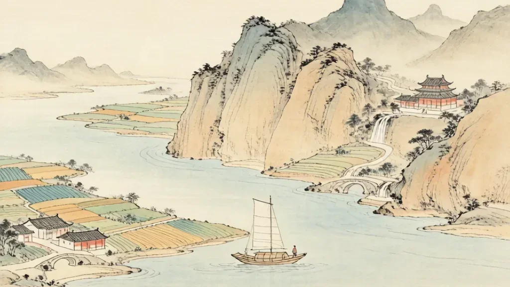
The Yangtze River: China's Lifeblood
The Yangtze River (长江) — whose name literally means "Long River" — flows for 6,300 kilometers from the glaciers of the Tibetan Plateau to the East China Sea near Shanghai. It is the longest river in Asia, the third longest in the world after the Nile and the Amazon, and it has been the central artery of Chinese civilization for millennia.
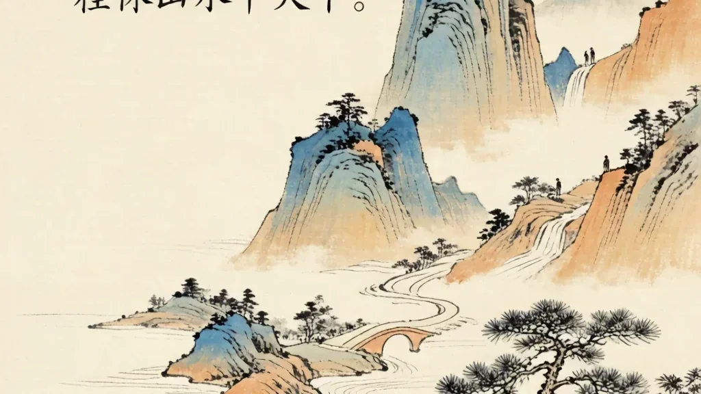
Guilin: The Landscape That Inspired Poets
The Chinese phrase " 桂林山水甲天下 " — "Guilin's scenery is the best under heaven" — has been repeated so often for so many centuries that it has become almost cliché. And yet, one glimpse of the Li River winding through a forest of emerald karst peaks is enough to understand why no one has ever seriously challenged the claim.
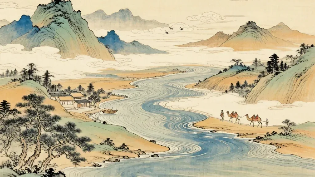
The Yellow River: Cradle of Chinese Civilization
The Yellow River (黄河) , known affectionately as China's "Mother River (母亲河)," flows for 5,464 kilometers from the Bayan Har Mountains of Qinghai Province to the Bohai Sea. It is the second-longest river in China and the sixth-longest in the world, but its true significance cannot be measured in kilometers alone.
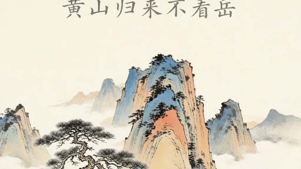
Huangshan: The Loveliest Mountain of China
There is a well-known Chinese saying that goes: " 五岳归来不看山,黄山归来不看岳 " — "After seeing the Five Great Mountains, you need not see other mountains; after returning from Huangshan, you need not see the Five Great Mountains. " This bold claim speaks to the extraordinary reputation of Huangshan (黄山) , or Yellow Mountain, widely considered the single most beautiful mountain in all of China.
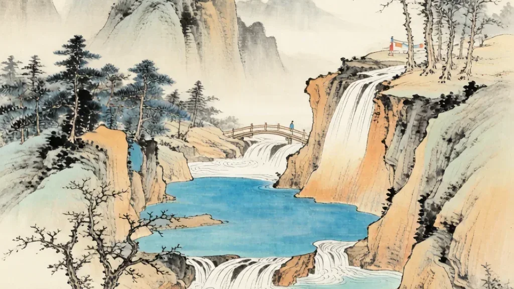
Jiuzhaigou: The Valley of Nine Villages
Hidden in the Min Mountains of northern Sichuan Province, at the edge of the Tibetan Plateau, lies a valley so beautiful that visitors have compared it to a fairyland, a dreamscape, and heaven on earth. Jiuzhaigou (九寨沟) — literally "Valley of Nine Villages" — is named for the nine Tibetan settlements that once dotted its length.
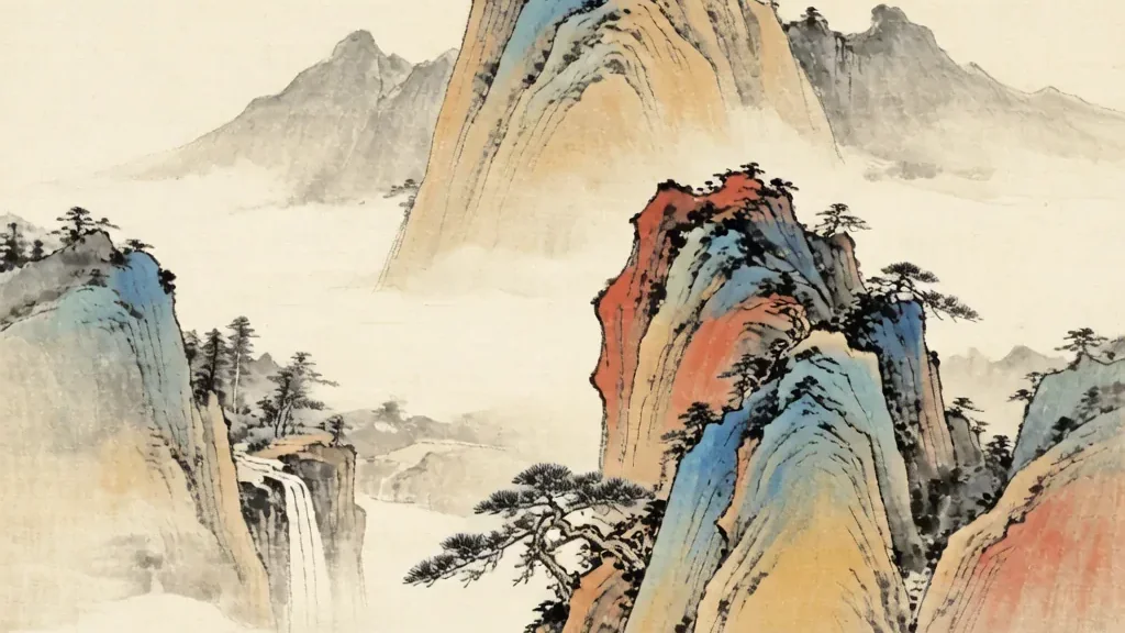
The Five Great Mountains of China
Few concepts capture the spiritual and geographical imagination of China quite like the Five Great Mountains , known in Chinese as 五岳 (Wǔ Yuè) . These five peaks — Mount Tai, Mount Hua, Mount Heng (North), Mount Heng (South), and Mount Song — are not merely geological formations.
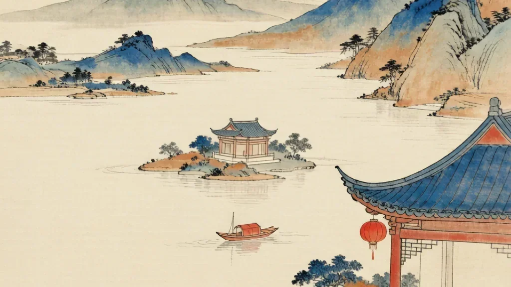
West Lake: Heaven on Earth
There is a well-worn Chinese saying that perfectly captures the essence of West Lake (西湖) : " 上有天堂,下有苏杭 " — "Above there is heaven; below there are Suzhou and Hangzhou. " And at the heart of Hangzhou lies West Lake, a body of water so beautiful, so perfectly proportioned, so rich with history and legend that it has been described as paradise on earth for over a thousand years.
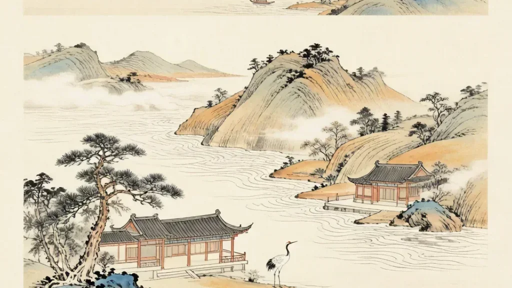
Dongting Lake: The Lake of the Xiang River
South of the great Yangtze, where the Xiang River gathers the waters of Hunan and flows toward the east, lies a lake that has been central to Chinese poetry and memory for two thousand years. Dongting Lake — 洞庭湖 (Dòngtíng Hú) — is one of the great freshwater lakes of the Yangtze basin, a shifting expanse of water and marsh whose moods have inspired verse, shaped floods, and sustained the rice fields of the south.

Mount Emei: The Sacred Peak of the Southwest
In the misty southwest of China, where the plains of Sichuan give way to green, forested heights, rises a mountain long revered as a place where the earth meets the sacred. Mount Emei — 峨眉山 (Éméi Shān), the "Lofty Eyebrow Mountain" — is one of the great holy mountains of Chinese Buddhism and a landscape of soaring cliffs, ancient monasteries, and clouds that pour like water through the treetops.
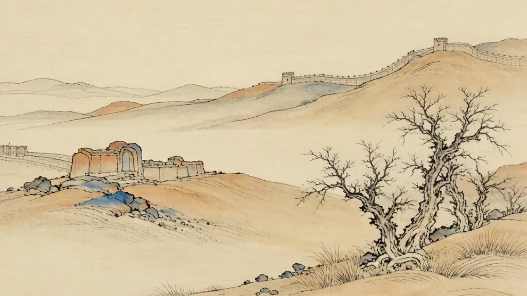
The Gobi: The Gravel Desert at the Edge of Empires
Stretching across the borderlands of northern China and southern Mongolia lies a desert that is not the sea of dunes many imagine, but a vast, stark expanse of gravel, rock, and hardy scrub. The Gobi — 戈壁 (Gēbì) — is one of the largest deserts in Asia, a cold desert where winter brings frost and where the horizon is often a line of distant, broken hills.
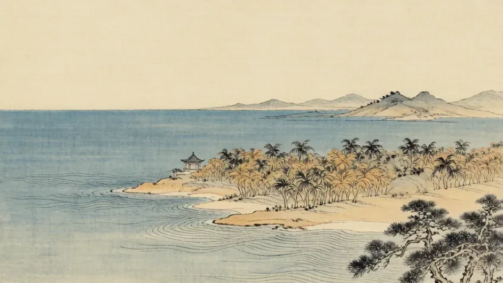
Hainan: The Tropical Island at the Edge of China
Far to the south of China's mainland, separated by a narrow strait from the province of Guangdong, lies an island of palms, warm rain, and turquoise water. Hainan — 海南 (Hǎinán), "south of the sea" — is China's southernmost province and its largest island, a tropical world apart from the wheat fields and cold winters of the north.

The Hexi Corridor: The Artery of the Silk Road
Between the towering Qilian Mountains to the south and the harsh deserts to the north runs a slender green thread that changed the history of the world. The Hexi Corridor — 河西走廊 (Héxī Zǒuláng), the "corridor west of the Yellow River" — is a string of oasis valleys stretching across northwestern Gansu, the only practical land route between the heart of China and the vast expanses of Central Asia.

The Himalayas: The Roof of the World
Stretching like a frozen wall across the southern edge of the Tibetan Plateau, the Himalayas — 喜马拉雅 (Xǐmǎlāyǎ), "abode of snow" — form the highest mountain range on Earth and the natural frontier between the Indian subcontinent and the highlands of China. To the Chinese imagination these peaks are more than rock and ice; they are the roof of the world, the threshold where the human and the celestial meet.
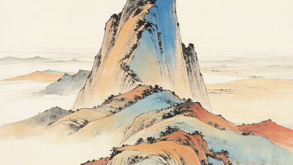
Mount Hua: The Precipice of Courage
Towering above the plains of central China with a sheer, knife-edged profile, Mount Hua — 华山 (Huà Shān), "the Flower Mountain" — has been called the most precipitous mountain in the country. For centuries its narrow ridges and vertiginous stairways tested the courage of pilgrims and poets, and its summits, linked by paths that cling to the cliffs, offer some of the most breathtaking and alarming views in all of China.

Hukou Waterfall (黄河壶口瀑布) — The Yellow River's Roar
Hukou Waterfall (壶口瀑布, Húkǒu Pùbù), located at the border between Shanxi and Shaanxi provinces on the middle reaches of the Yellow River (黄河, Huáng Hé), is the largest waterfall on China's 'Mother River' and holds the unique distinction of being the world's largest yellow waterfall — its waters, laden with the fine loess sediment that gives the Yellow River its name and color, create a spectacle unlike any other waterfall on Earth. The name 'Hukou' means 'kettle spout,' a vivid description of how the Yellow River, which at this point is approximately 300 meters wide, is suddenly constricted by rock formations into a channel only 20-30 meters wide, forcing the entire volume of water to plunge 20 meters into a deep gorge — like water pouring from the spout of an enormous kettle.

Kanas Lake (喀纳斯湖) — Xinjiang's Alpine Gem
Kanas Lake (喀纳斯湖, Kānàsī Hú), nestled deep in the Altai Mountains of northern Xinjiang Uygur Autonomous Region, near the borders of Kazakhstan, Russia, and Mongolia, is one of China's most beautiful and mysterious alpine lakes. The name 'Kanas' derives from the Mongolian word meaning 'beautiful, rich, and mysterious' — a fitting description for a lake that seems to change color with the seasons and weather, shifting through shades of turquoise, emerald, cobalt, and steel gray.
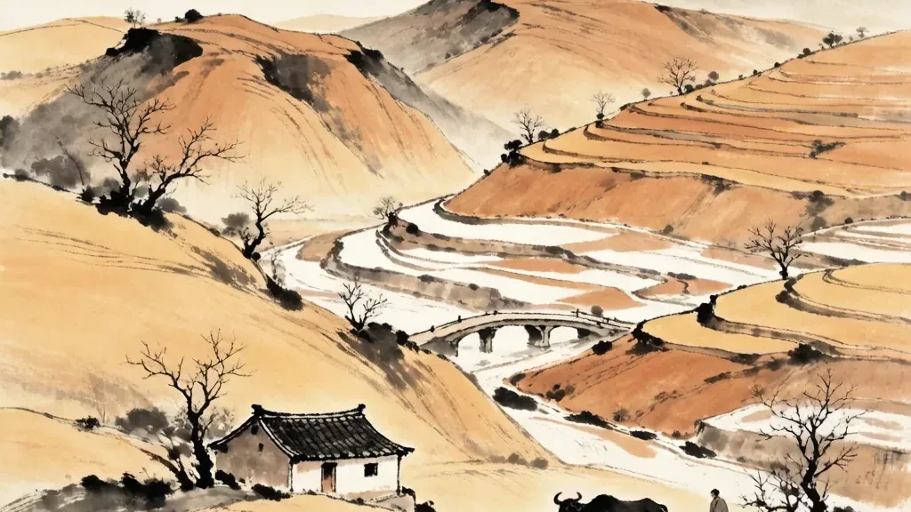
The Loess Plateau: Cradle of Chinese Farming
Covering a vast sweep of north-central China is a landscape the color of dust and history: the Loess Plateau — 黄土高原 (Huángtǔ Gāoyuán), the "yellow-earth highland. " Built from wind-blown silt laid down over hundreds of thousands of years, this region is one of the most distinctive physical features of China and, remarkably, one of the birthplaces of Chinese farming.

Mount Everest: The Peak That Touches Heaven
It is the highest point on the surface of the Earth, a pyramid of rock and ice that has drawn the dreams of climbers and the reverence of peoples for centuries. Mount Everest — 珠穆朗玛 (Zhūmùlǎngmǎ), "the peak that touches heaven" in Tibetan — stands on the border between China and Nepal, its north face rising from the Tibetan side of the Himalayas.
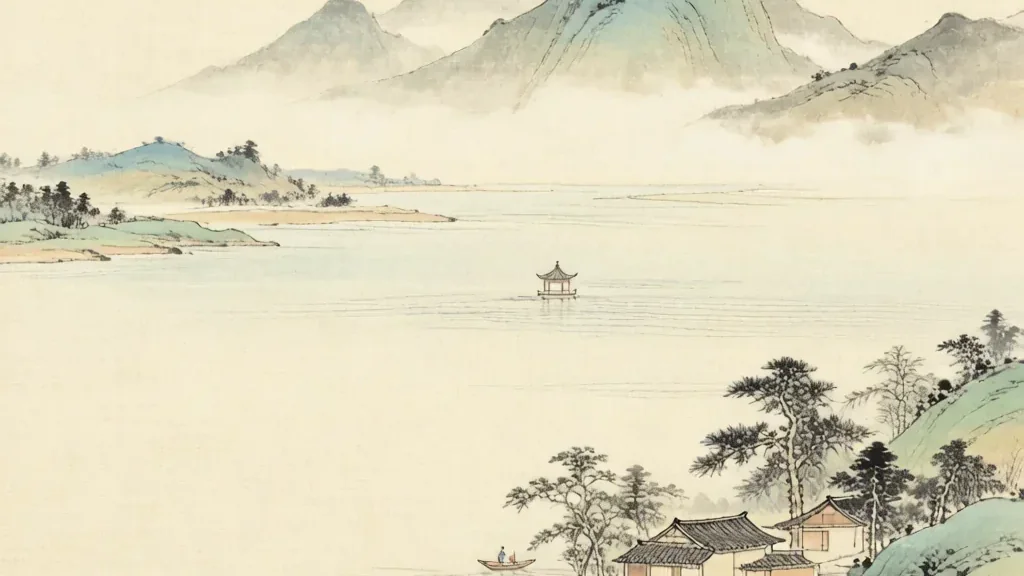
Poyang Lake: The Largest Freshwater Lake of China
In the lowland of the middle Yangtze, where the great river slows and spreads, lies a vast sheet of water that breathes with the seasons. Poyang Lake — 鄱阳湖 (Póyáng Hú) — is the largest freshwater lake in China, a place of shifting shores, immense reed beds, and one of the most important wetlands on the planet.
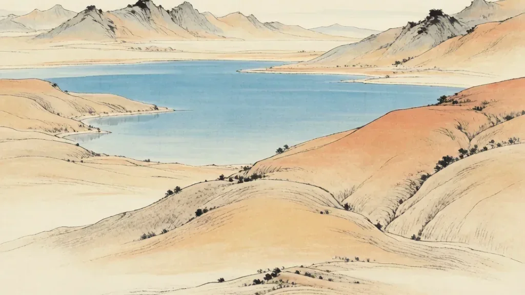
Qinghai Lake: The Blue Tear of the Plateau
On the high, windswept expanse of the Tibetan Plateau, where the air is thin and the sky seems close enough to touch, lies a body of water the color of a clear summer morning. Qinghai Lake — 青海湖 (Qīnghǎi Hú), the "Blue Lake" — is the largest lake in China and the largest inland saltwater lake on the plateau.
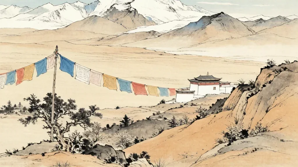
Qinghai-Tibet Plateau (青藏高原) — Roof of the World
The Qinghai-Tibet Plateau (青藏高原, Qīngzàng Gāoyuán), often called the 'Roof of the World' (世界屋脊, Shìjiè Wūjǐ), is the largest and highest plateau on Earth, covering approximately 2. 5 million square kilometers — an area roughly the size of Western Europe — at an average elevation of over 4,500 meters (14,800 feet) above sea level.
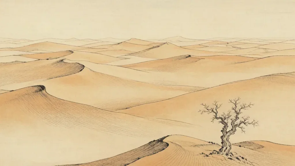
The Taklamakan: The Sea of Death
Deep in the heart of China's far west lies a desert so forbidding that travelers once named it the "Sea of Death. " The Taklamakan — 塔克拉玛干 (Tǎkèlāmǎgān) — is the largest shifting-sand desert in China and one of the driest places on Earth.

The Tarim Basin: Oasis and Silence
In the rain shadow of the world's greatest mountains lies a vast, closed bowl of land where rivers die in the sand and silence is the dominant sound. The Tarim Basin — 塔里木盆地 (Tǎlǐmù Péndì) — is the great interior depression of southwestern Xinjiang, enclosing the Taklamakan Desert at its heart and cradling a ring of oases at its rim.
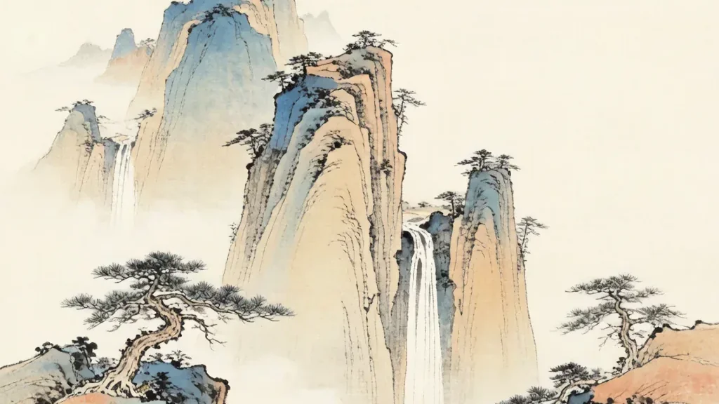
Zhangjiajie (张家界) — The Avatar Mountains
Zhangjiajie National Forest Park (张家界国家森林公园, Zhāngjiājiè Guójiā Sēnlín Gōngyuán), located in the northwestern corner of Hunan Province, is one of the most visually spectacular landscapes on Earth — a forest of towering quartz-sandstone pillars, thousands of them, rising hundreds of meters from the valley floor like petrified giants, their sheer faces draped in vegetation and often veiled in drifting mist. This surreal landscape, which served as the direct inspiration for the floating 'Hallelujah Mountains' in James Cameron's 2009 blockbuster film 'Avatar,' was China's first national forest park, established in 1982, and was inscribed as a UNESCO World Heritage Site in 1992 as part of the larger Wulingyuan Scenic and Historic Interest Area.
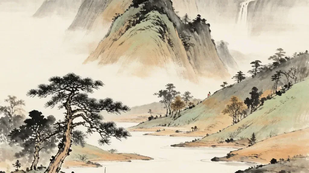
The Bayu Region: The Mountain and River of Chongqing
The Bayu region (巴渝) centers on present-day Chongqing, where the Yangtze and Jialing rivers carve a mountainous basin whose misty gorges have shaped a famously fiery cuisine and an independent spirit.
The Bohai Sea: The Imperial Bay of Beijing
The Bohai Sea is China's innermost gulf, rimmed by Beijing, Tianjin, and Liaoning — a shallow, resource-rich sea that has guarded the northern capital for millennia.
Dian Lake: The Gem of Yunnan
Dian Lake (滇池) is the great highland lake of Yunnan beside Kunming, long the heart of the Dian culture and a mirror of the 'Spring City' beneath the Western Hills.
The East China Sea: The Maritime Frontier
The East China Sea stretches from the Yangtze mouth south to Taiwan, a fertile fishing ground and the historic sea lane linking China with Japan and the Ryukyus.
Erhai Lake: The Ear-Shaped Sea of Dali
Erhai (洱海), the 'Ear Lake,' is the alpine lake beside Dali in Yunnan, homeland of the Bai people and the center of a storied kingdom of the southwest.
Hainan: The Tropical Paradise of the South Sea
Hainan is China's tropical island at the southern edge of the South China Sea — a former exile shore now the nation's beachfront and a crossroads of island peoples.
Mount Heng: The Northern Sacred Peak
Mount Heng (恒山), the Northern Sacred Peak, rises in Shanxi as the guardian of the north and home to the vertiginous Hanging Temple (悬空寺).
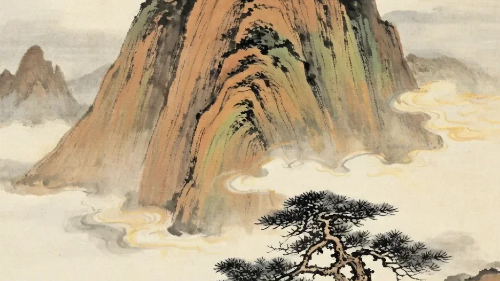
Mount Heng: The Southern Sacred Peak
Mount Heng (衡山), the Southern Sacred Peak, stands in Hunan as the mountain of fire and longevity, crowned by the Zhurong Peak and studded with temples.
The Huai River: The Boundary Between North and South
The Huai River runs between the Yellow and Yangtze, the traditional climatic line dividing China's wet south from its dry north and a perennial flood challenge.
Kanasi Lake: The Legendary Waters of Xinjiang
Kanas Lake (喀纳斯) lies in the Altai mountains of Xinjiang, a glacial lake of shifting blue famed in Tuva legend for a elusive 'lake monster.'
The Kunlun Mountains: The Axis of the World
The Kunlun Mountains are the fabled western range that Chinese myth made the axis of the world and the home of immortals and the Queen Mother of the West.
The Loess Plateau: The Yellow Earth of the North
The Loess Plateau of the northwest is a deep blanket of wind-blown yellow earth — the cradle of early Chinese farming and the source of the Yellow River's silt.
The Inner Mongolian Plateau: The Grassland of the Steppe
The Inner Mongolian Plateau is the grassy steppe north of the Great Wall, the grazing ground of nomads and the meeting zone of pastoral and agrarian China.
The Pearl River: The Waterway of the South
The Pearl River (Zhujiang) is the southern waterway whose delta — Guangzhou, Shenzhen, Hong Kong — became China's workshop and window to the sea.
The Qaidam Basin: The Treasures of the Plateau
The Qaidam Basin (柴达木) is a high desert bowl in Qinghai rich in salt lakes and minerals, long a harsh crossing on the Tibetan Plateau's northern edge.
The Qilian Mountains: The Glaciers of the Hexi Corridor
The Qilian Mountains (祁连山) are the glacier-crowned wall north of the Tibetan Plateau whose meltwaters green the Hexi Corridor — the Silk Road's lifeline.
The Sichuan Basin: The Land of Abundance
The Sichuan Basin is the fertile 'Land of Abundance' (天府之国) walled by mountains, whose warm, humid climate and the Dujiangyan irrigation made it China's granary.
The Songhua River: The Great River of the Northeast
The Songhua River is the great waterway of China's Northeast (Dongbei), draining the Changbai mountains and freezing into a winter spectacle at Harbin.
Mount Song: The Central Sacred Peak
Mount Song (嵩山) is the Central Sacred Peak in Henan, home to the Shaolin Temple and the astronomical tower where the earth's center was once fixed.
Lake Tai: The Watery Heart of the Jiangnan
Lake Tai (太湖) is the broad, island-dotted lake at the heart of the Jiangnan water country, cradle of the region's silk, tea, and scholar-garden culture.
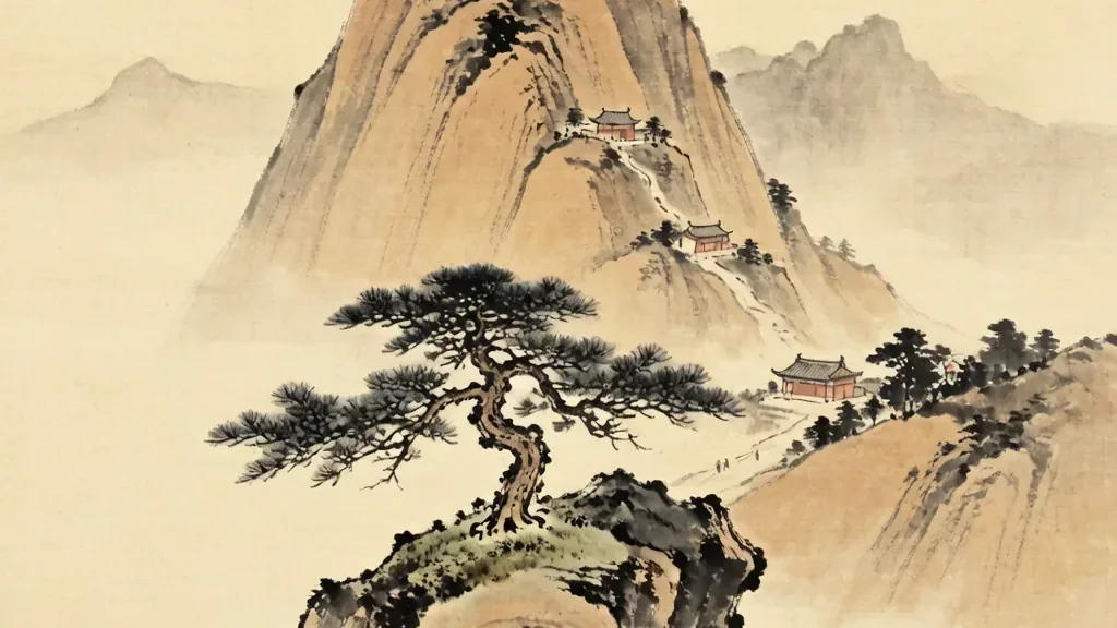
Mount Tai: The Most Sacred Peak of China
Mount Tai (泰山) in Shandong is the most sacred of the Five Peaks, the eastern mountain where emperors ascended to report to Heaven and where the sun is born.
The Tianshan Mountains: The Heavenly Mountains of the West
The Tianshan, the 'Mountains of Heaven,' arc across Xinjiang, splitting the region into the Tarim south and the Junggar north and feeding its green valleys.
The Tibetan Plateau: The Roof of the World
The Tibetan Plateau — the 'Roof of the World' — is the high, frigid tableland whose glaciers feed Asia's great rivers and whose uplift shaped the monsoon.
West Lake: The Most Celebrated Lake of Chinese Poetry
West Lake (西湖) in Hangzhou is the most celebrated lake in Chinese poetry — a landscaped mirror of causeways, pagodas, and gardens that inspired a thousand verses.
The Yangtze River: The Spine of the South
The Yangtze is China's longest river and the spine of the south, carrying trade and myth from the Tibetan snows to the megacities of Shanghai's estuary.
The Yellow River: The Cradle of Chinese Civilization
The Yellow River (黄河) is the 'cradle of Chinese civilization,' the silt-laden mother river of the north whose floods and gifts shaped the first dynasties.
The Yunnan-Guizhou Plateau: The Karst Kingdom
The Yunnan-Guizhou Plateau is China's 'karst kingdom,' a limestone landscape of towering peaks, sinkholes, and terraced valleys home to dozens of ethnic groups.
The Junggar Basin: The Northern Gate of Xinjiang
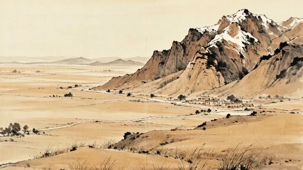
The Junggar Basin is the northern Xinjiang bowl between the Tianshan and Altai, a semi-desert steppe of wind farms and the fabled Dzungar grasslands.